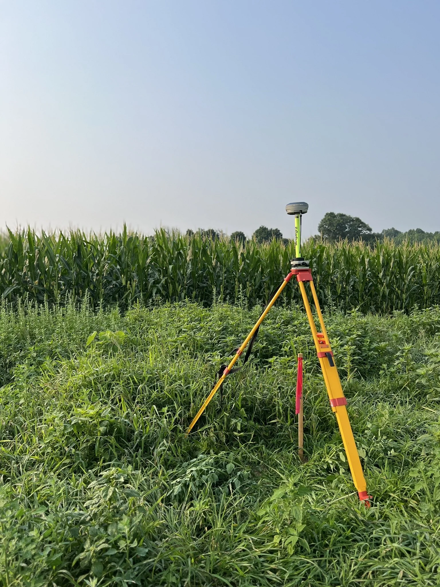
Explore Our Services
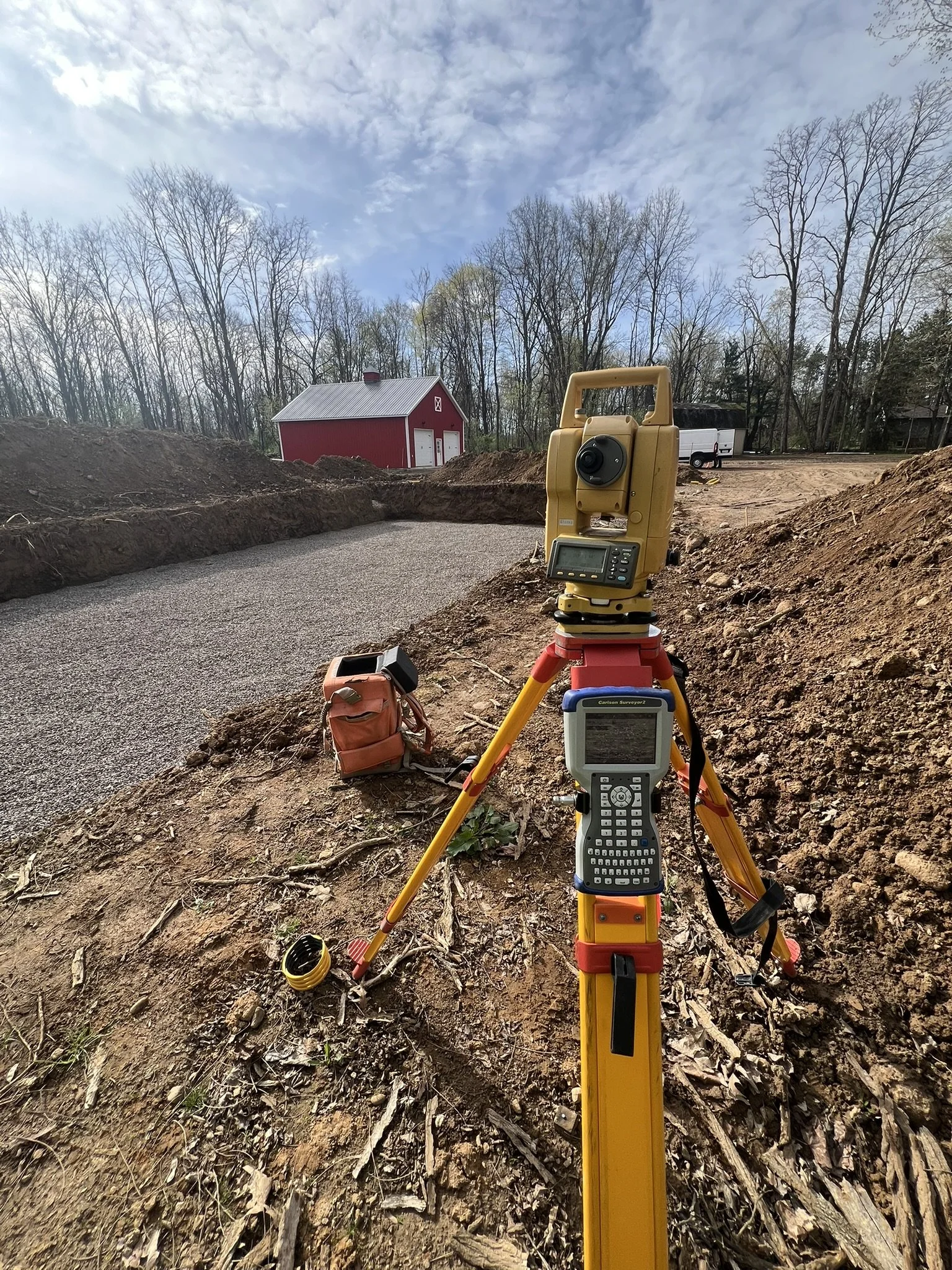
Comprehensive Land Surveying for every phase of your project
Protect your property with an accurate land survey.
Whether you’re buying, selling, subdividing, building, or adding a swimming pool or fence — you will benefit from our comprehensive survey services.
-
Your property lines exist on paper. We put them on the ground.
A boundary survey establishes the exact legal limits of your parcel based on your deed — combining thorough records research, precise field measurements, and rigorous calculations to define where your land begins and ends. The result is a certified survey map and physically marked corners you can see, reference, and rely on.
Records Research — We dig into deeds, plats, and public records to understand the full legal history of your parcel before a single measurement is taken.
Field Measurements & Calculations — Precise, standards-compliant measurements are taken and calculated to establish boundary lines with legal accuracy.
Survey Map & Corner Marking — A formal map is produced and property corners are physically marked on the ground — so you always know exactly what's yours.
Planning to Build? — A boundary survey confirms your construction stays within your property lines and meets local setback and zoning requirements before the first stake goes in.
-
Before engineers design and architects draw, someone has to read the land. That's us.
A topographic survey maps every significant natural and man-made feature on your property — buildings, trees, pavement, streams, slopes, and elevation contours — giving your project team the accurate, complete picture they need before design begins. Whether it's drainage planning, site development, or construction layout, decisions made with good topo data are decisions made with confidence.
What We Map — Existing structures, vegetation, paved surfaces, water features, and elevation contours — everything that shapes how your site performs and how your project gets designed.
Advanced Technology — Aerial photography, high-precision GPS, and electronic survey instruments deliver accurate, reliable data fast — delivered in digital formats ready for your engineering or design software.
Who Needs It — Engineers, architects, developers, and contractors working on drainage, grading, construction, mining, or land development projects of any scale.
-
High-value commercial transactions demand the highest standard of survey. This is it.
An ALTA/NSPS Land Title Survey is the most comprehensive survey available for commercial real estate — conducted to strict national standards set by the American Land Title Association and the National Society of Professional Surveyors. It leaves nothing ambiguous: boundaries, improvements, easements, encroachments, utilities, and rights-of-way are all clearly identified and documented, so closings go smoothly and title insurance is issued with confidence.
Commercial Transactions — Gives buyers, sellers, and title companies a single, authoritative property document that eliminates surprises at the closing table.
Lender Requirements — Frequently required by lenders and financial institutions before financing is approved on commercial acquisitions and developments.
Development & Construction — Identifies easements, rights-of-way, and utility locations before design begins — protecting your investment before a dollar is spent on plans.
Zoning Compliance — Confirms setbacks, parking areas, building footprints, and site conditions align with local zoning requirements.
-
Turning one piece of land into many takes more than a line on a map. It takes a team that knows the process end to end.
Whether you're developing a large residential community or simply splitting a parcel to sell to a neighbor, our subdivision services cover every stage — from initial planning and design through construction staking, computerized drafting, municipal meetings, and final map filing. We tailor our approach to your project and guide you through every step of the approval process.
Commercial & Industrial Subdivisions — Large-lot layouts for commercial and industrial development projects.
Minor Subdivisions — Clean, efficient division of a small number of new lots with minimal complexity.
Administrative Subdivisions — Simple boundary adjustments handled with precision and efficiency.
Agricultural Subdivisions — Rural land division for farming, conservation, or estate planning purposes.
-
Turning plans into reality — down to the inch.
We translate your design drawings into precise, on-the-ground markers that guide every phase of construction. Foundations. Utilities. Roads. Grading. If it gets built, we stake it first.
✓ Site control & benchmarks
✓ Building & foundation staking
✓ Utility layout
✓ Roadway & paving staking
✓ Rough & final grade
✓ As-built surveys -
Know your boundaries. Build in the right place. Own your ground.
These three services form the backbone of residential and small-site surveying — whether you're pulling a permit, breaking ground, or settling a property dispute once and for all.
Plot Plans — A precise, top-down map of your property showing proposed improvements (ie. house, garage, pool, or fence), plus legal boundaries, existing structures, utilities, and setbacks. Required for permits, sales, and site planning.
House Stakeouts — We physically mark the ground so your contractor knows exactly where to dig. Every stake reflects your approved plans, zoning setbacks, and foundation specs — including cut sheets for excavation depth.
Line Marking — We place stakes, flags, and pins along your surveyed property lines so there's no question where your land begins and ends. Essential before fencing, building, or resolving neighbor disputes.
-
Old deeds tell old stories. When the language is vague, outdated, or just plain wrong — we fix it.
An updated legal description replaces ambiguous or inaccurate deed language with a precise, physically verified boundary survey — complete with modern metes and bounds, accurate acreage, and permanent corner monuments. The result is a clean, legally sound description that protects your property rights and holds up in any transaction, courtroom, or title search.
Metes & Bounds — We rewrite vague or outdated deed language with precise directions, distances, and a clear point of beginning — corrected to reflect what's actually on the ground.
Physical Verification — Every boundary is walked, measured, and monumented. We confirm corners, document improvements like fences and structures, and ensure the description matches physical reality.
Regulatory Compliance — Updated descriptions are aligned with current tax maps, municipal requirements, and any applicable environmental or utility easements — so there are no surprises down the road.
When You Need This:
Buying or selling property with an outdated survey
Subdividing land into new, legally distinct parcels
Resolving boundary disputes between deeded limits and actual occupancy
Defining easements for utilities, drainage, or environmental use
-
If your property sits in a flood zone, this document can save you thousands — or protect you from far worse.
A Flood Elevation Certificate is a professional survey that measures your building's elevation against FEMA's established base flood level. It's the official record lenders, insurers, and municipalities rely on to confirm floodplain compliance, set accurate insurance premiums, and approve permits in high-risk areas.
What's Documented — Building type, lowest floor elevation, lowest adjacent ground level, flood zone designation, and key features like basements and attached garages. Every data point FEMA and your insurer need, precisely measured and certified.
Flood Insurance — Accurate elevation data directly impacts your premium. If your building sits higher than the base flood level, a certificate can significantly reduce what you pay each year.
Compliance — Confirms your structure meets local floodplain regulations and FEMA requirements — essential for permits, refinancing, and peace of mind.
New Construction — Often required before a building permit is issued in designated flood zones. Get it done right from the start.
Map Corrections — If you believe your property has been incorrectly mapped into a flood zone, elevation data supports a Letter of Map Amendment (LOMA) to formally challenge the designation.
-
Wetlands can stop a project in its tracks — knowing where they are before you build is everything.
A wetland delineation identifies the exact boundaries of wetlands on your property, and in New York State, it's often required before any development, permitting, or land transaction can move forward. Regulated under the federal Clean Water Act and New York's Freshwater Wetlands Act, any wetland on or near your property can affect what you're allowed to build — and where.
When It's Required — Regulatory compliance with NYSDEC and the Army Corps of Engineers, project feasibility assessments, real estate transactions, subdivision planning, and any development where wetlands or their buffer zones may be impacted.
New York State Rules — As of January 1, 2025, New York lowered the size threshold for regulated wetlands from 12.4 acres to 7.4 acres (fully effective 2028), expanding protections to more properties statewide. Standard buffer zones extend 100 feet from a wetland boundary — and up to 800 feet for sensitive wetland types. Before any delineation begins, a Parcel Jurisdiction Determination (JD) through NYSDEC can confirm whether wetlands are present and regulations apply.
Our Role in the Process
We don't perform the environmental delineation itself — that requires a certified environmental professional or engineer. What we do is help guide you through the process, and once your environmental consultant has flagged the wetland boundaries in the field, we take over from there.
We collect the flagged boundary data, integrate it with your property survey, and produce a precise, professionally drafted wetland map — showing property lines, wetland boundaries, buffer zones, acreage, structures, and deed information — ready for submission to NYSDEC, municipal agencies, and your project design team.
One map. Every boundary. Everything your project needs to move forward.
-
Aerial imagery is powerful. Without ground control, it's just a pretty picture.
We place precisely measured ground control points (GCPs) across your site before any drone, plane, or satellite collects data — anchoring every pixel to real-world coordinates. The result: maps and models accurate enough for engineering design and construction decisions.
✓ GPS/GNSS ground control points
✓ Drone, aircraft & satellite support
✓ Topographic mapping
✓ Construction site monitoring
✓ Infrastructure inspection
✓ Corridor mapping
Not sure which service you need?
We're here to help you figure it out. Contact us today for a free consultation.
Our Process
Four steps. Zero guesswork. A boundary you can stand on.
Every survey we complete follows the same proven process — thorough research, precise fieldwork, expert analysis, and permanent monumentation on the ground. Here's what happens from the moment you place your order to the day your pins are set.
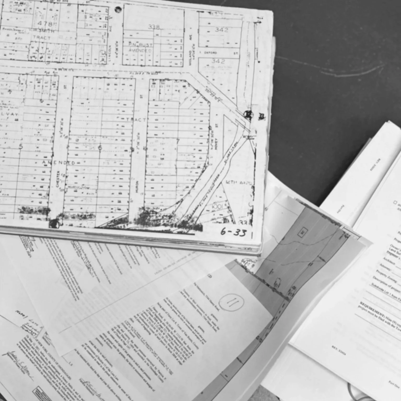
Step 1: Research
Before anyone sets foot on your property, we dig into the records. Using deed databases, county clerk filings, abstracts of title, and tax parcel resources, we locate your current deed and survey map — and those of every adjoining property. Why neighbors? Because your boundary doesn't exist in isolation. Overlapping descriptions, vague historical language, and undocumented highway takings are all part of the puzzle we piece together before the crew ever leaves the office. The more complex the history, the more thorough the research — and we don't cut corners on either.
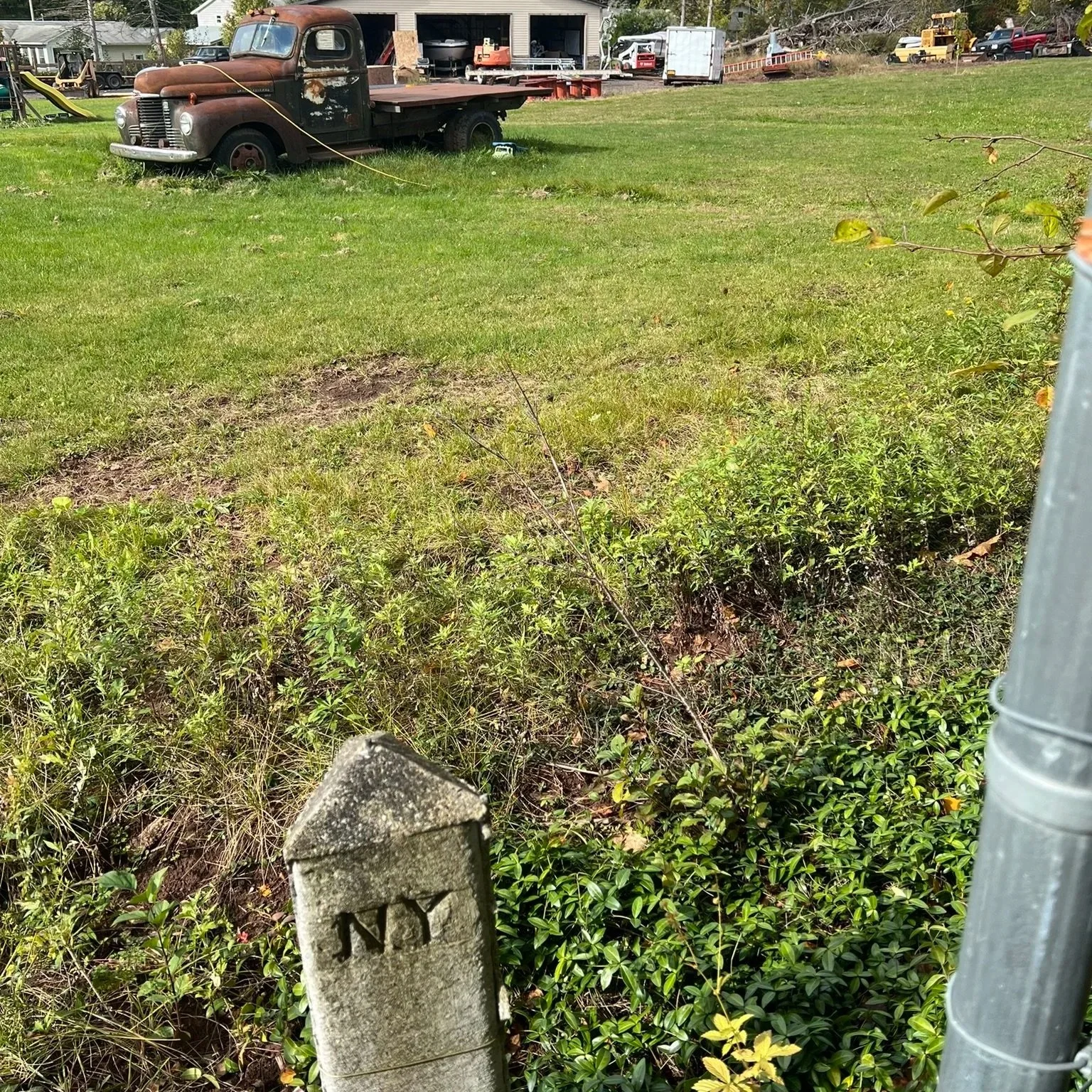
Step 2: Fieldwork
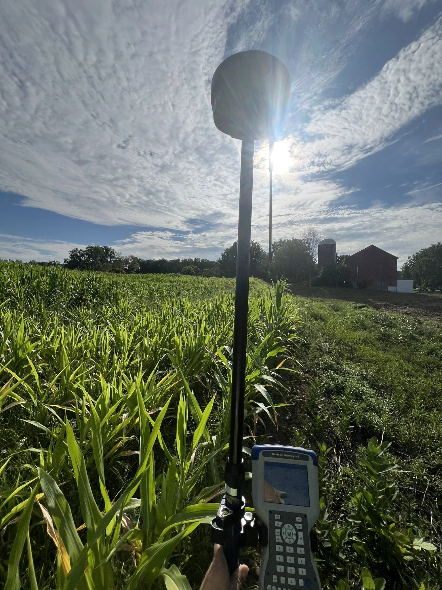
This is when the crew shows up. Using a total station, a robotic instrument, and/or GPS equipment, we walk every edge of your property searching for existing corner monuments — iron pipes, rods, concrete markers, and more. Found pins and boundary evidence like fences, rock walls, hedgerows, and watercourses are recorded. So are significant features: buildings, driveways, wells, utility poles, and improvements. Everything that belongs on your map gets measured, noted, and brought back to the office.
Step 3: Boundary Analysis & Drafting
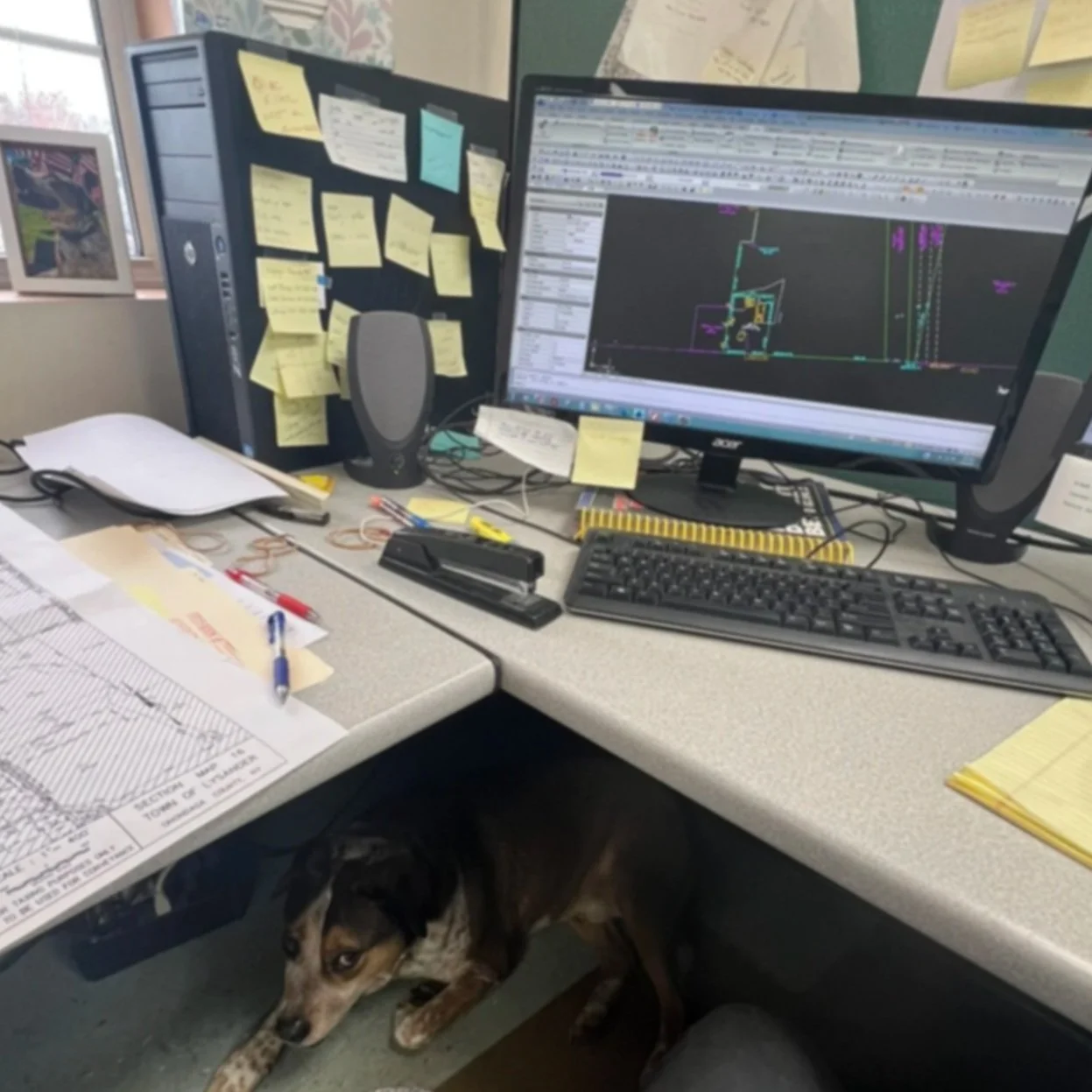
Back in the office, all field data is loaded into Carlson Survey software, where deed descriptions and physical measurements are layered together into a property mosaic. When what's on paper matches what's in the ground, the boundary is clear. When it doesn't, our licensed surveyor makes a professional determination — weighing original monumentation, deed language, and neighboring evidence — before producing your final certified map showing bearings, distances, acreage, improvements, offsets, and ownership information. Every boundary decision is reviewed before any map is finalized.
Step 4: Pin Setting & Line Marking
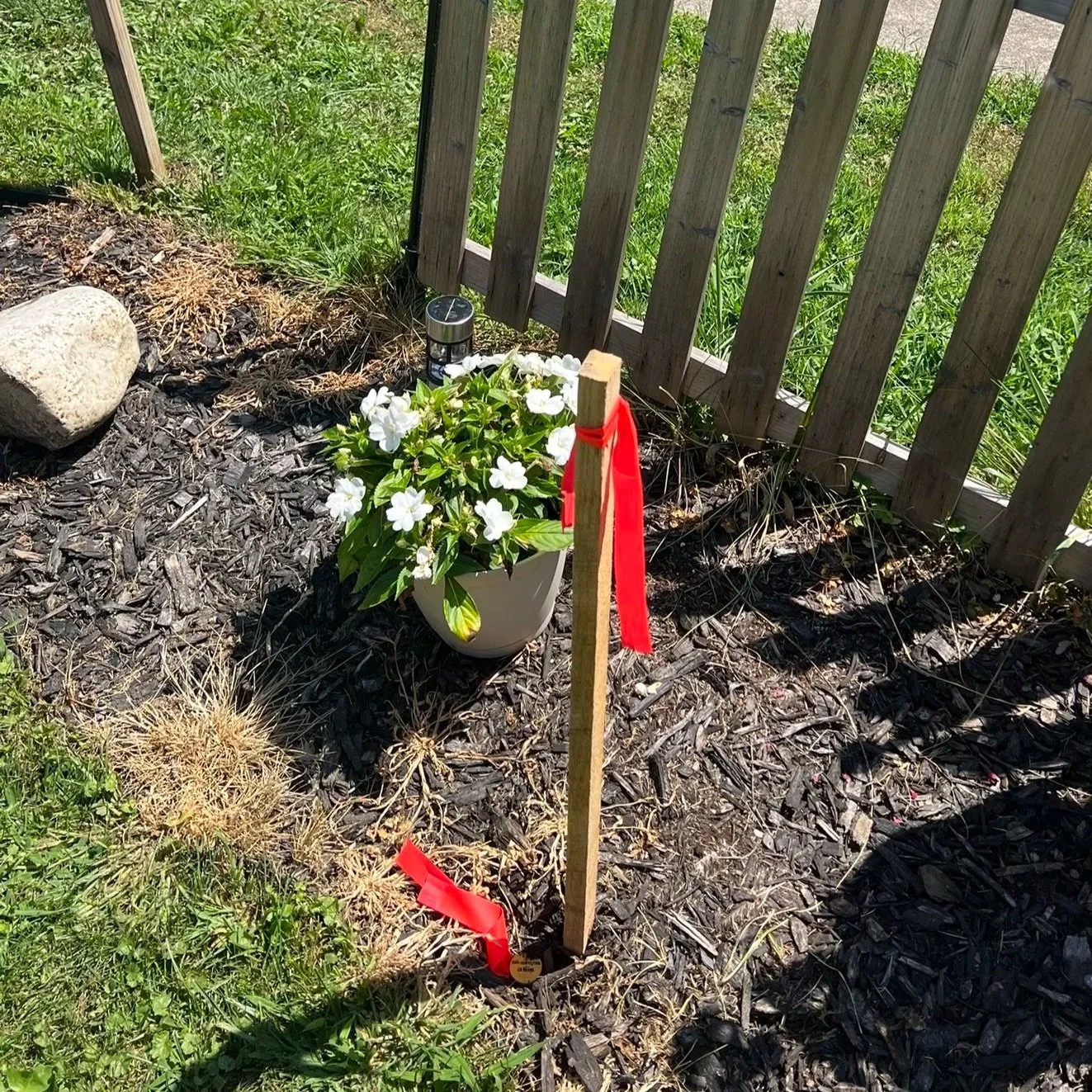
The final step is putting it all on the ground permanently. Should you request our staking services, we set iron rebar pins with identifying caps at every corner, and where needed, mark the line with stakes and flagging to give you clear visibility between corners. We never remove existing monuments — only add to the record. Once pins are set and your map is delivered, the survey is complete and yours to rely on.
Our Service Area
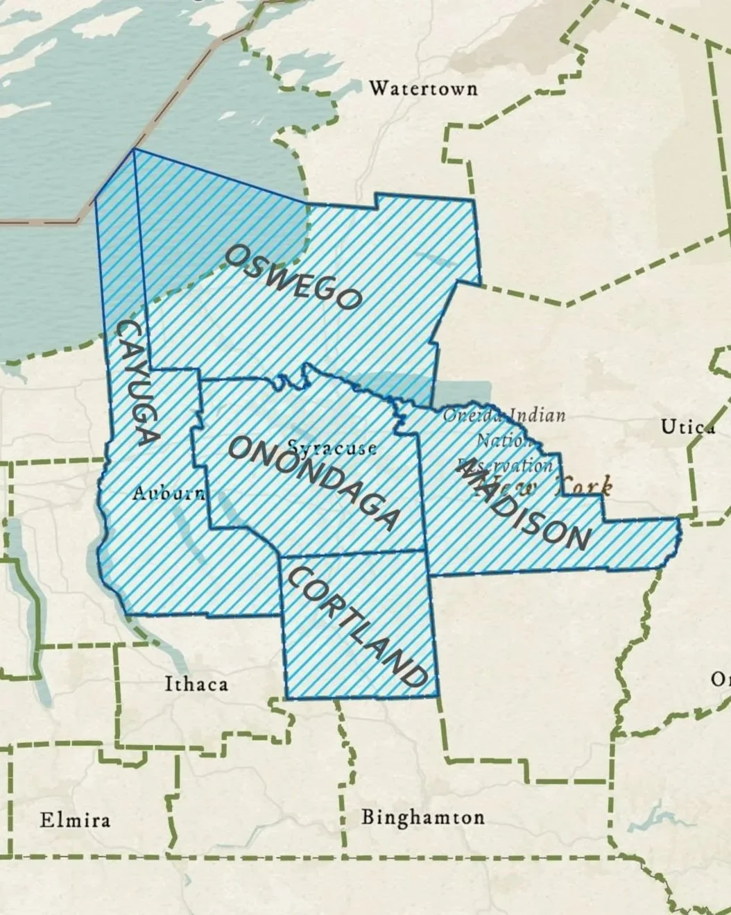
We serve Onondaga County and the surrounding areas, including: Oswego, Cayuga, Cortland, and Madison counties. We regularly accept work in Wayne, Ontario, Monroe counties and across New York State on a case-by-case basis.
Request a Quote
If you're interested in working with us, complete the form with a few details about your project. We'll review your message and get back to you within 48 hours.